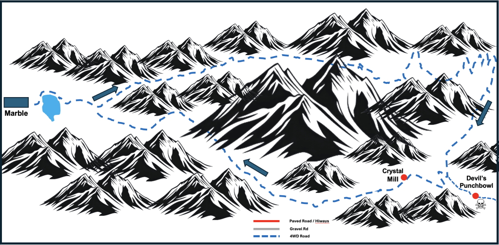
Marble, Colorado, is 127 miles north and east of Ouray, our most often-used base for off-road fun. In addition, there are no nearby Jeep rentals, so I arranged for a driver to chauffeur us (for the first time). The advantage of having a driver / guide was the opportunity to learn more about the area, and he took us up a different trail (red dotted line) for a short ride that I would not have done myself.
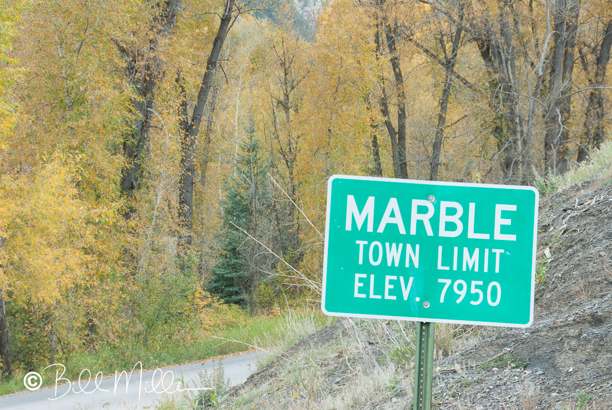
Marble is a tiny village, 6 miles off CO Hiway, 133. Marble is known for its . . . wait for it . . . marble! The white marble from the local quarry (used in the Lincoln Memorial) is comparable in quality to the Carrara Italian marble from Tuscany (Michelangelo’s David), but they have different aesthetics.
Although the marble history was fascinating, and a reason to visit Marble by itself, we were here for some off-roadin’. Our driver and guide picked us up from our accommodations at Beaver Lake Lodge early in the morning on a wonderful end-of-September day. Our 4-wheel route, Lost Trail Road, completely circled the 13,188′ Sheep Mountain with the high road on the north and the lower elevation section on the south. The Lead Basin itself, was in a deep valley in the area of the upper-right on the map below. Switchbacks took us downhill from a high of about 10,400′ to elevations in the 8,000′ range.
As the gallery will show, we took a short ride up the Devil’s Punchbowl trail in the lower right portion of the map. This 4½ mile trail links the southern part of Lost Trail Rd to Schofield Pass (Paradise Divide trail), with a choice there of two easy trails to Crested Butte to the east. Coming from Crested Butte to Marble, however, the driver must descend a very narrow “road” with a rock wall on the left and a canyon to the right, with a road surface that tilts towards the canyon. No wonder Jeep rental agencies prohibit travel in their vehicles on the Devil’s Punchbowl. Yes, there have been numerous serious accidents on this trail.